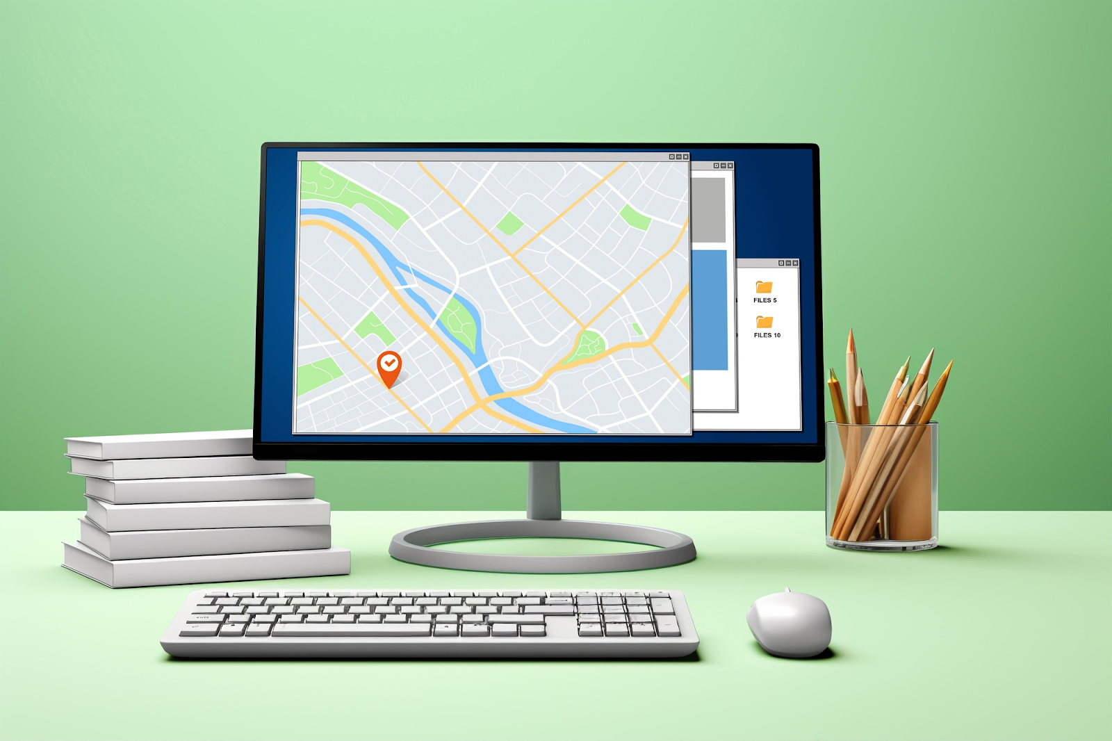
Adding interactive maps to your website or app can get quite complex without the right tools. Mapping features aren’t things you can easily build from scratch. But with a good JavaScript geo library with all essential functions and rich documentation, the job gets a lot easier.
These libraries come with pre-built solutions, so you don’t have to reinvent the wheel. Simply integrate them into your projects, add a few lines of code, and you’re good to go.
In this article, you’ll learn what JavaScript geo libraries are and explore some of the best options out there. Let’s start with the basics.

Table of Contents
What Is a JavaScript Geo Library?
A JavaScript geo library is a set of pre-written functions for adding maps and geospatial data in web and mobile applications.
It helps developers integrate Geospatial Information Systems (GIS) elements into projects without programming them from scratch.
You’ve probably encountered GIS in action through interactive, zoomable maps on websites or apps. JavaScript geo libraries make it possible to integrate these kinds of features into your own projects.
With these libraries, developers can program a wide variety of geospatial operations such as:
- Traffic or transit layers for real-time updates
- Custom pins or overlays to highlight locations
- Plotting geo-tagged datasets to create 3D maps
- Augmented reality features
One of their biggest advantages is their flexibility. These libraries allow you to control how maps look and behave. You may load individual map tiles, attach data to your maps, design custom styles, and make the entire experience interactive.
For businesses, these libraries are invaluable. Through maps they can help customers locate physical stores, visualize delivery routes, or explore data in an engaging way.
Many JavaScript geo libraries are also open source, which further relieves the strain from their budget.
4 Best JavaScript Geo Library Platforms
Here’s a quick overview of a few popular JavaScript geolocation libraries with widespread recognition.

1. Leaflet
Leaflet is a leading JavaScript geo library for creating interactive and mobile-friendly maps. At just 33 KB, it’s incredibly lightweight but doesn’t compromise on essential features.
Leaflet ensures a smooth experience for users on phones and tablets by supporting gestures like pinch-to-zoom, double-tap, and drag. It’s perfect for displaying points, polygons, rectangles, circles, and custom markers on both web and mobile platforms.
Developers love Leaflet for its simplicity and flexibility. It supports GeoJSON, a widely used format for encoding geographic data. Moreover, the Leaflet library has plenty of third-party plugins that let you extend its already vast capabilities as needed.
Its well-structured, readable code and impressive performance are why platforms like FourSquare, Pinterest, and Flickr use it within their projects.

2. OpenLayers
OpenLayers is another high-performance, open-source JavaScript geo library good for speed and flexibility. The library can render complex geospatial data in your browser version using slippy maps or dynamic vector data.
With support for formats like GeoJSON, KML, GML, and Mapbox vector tiles, OpenLayers is suitable for programming many spatial operations.
Developers will find it relatively easy to program basic map functions like pinch-to-zoom, snapping, and measuring, among others.
While its real strength is rendering and displaying maps, you can also use OpenLayers for raster analytics. For instance, you could use it to calculate vegetation indices or simulate sea-level rise scenarios in real time.
Another good thing about the OpenLayers library is its extensive documentation. It comes with live demos and code samples that make it accessible even for beginner GIS developers.

3. CesiumJS
CesiumJS is easily the best JavaScript geo library for creating breathtaking 3D globes and maps. This open-source library offers the stunning visual quality required for advanced geospatial operations.
It supports 3D Tiles to stream and interact with large datasets, like photogrammetry models or city-scale 3D buildings.
You can also:
- Visualize high-resolution global terrain.
- Exaggerate features for emphasis.
- Apply procedural materials based on attributes like height or slope.
CesiumJS supports visual effects such as shadows, fog, and atmospheric lighting. It even supports celestial elements like the sun, moon, and stars. For extra realism, developers can incorporate particle effects like smoke or fire.
Industries can use its ability to showcase real-time events or historical changes to visualize dynamic geospatial operations. There’s also support for offline mode with tile caching, so developers can create solutions required in remote environments.

4. Google Maps JavaScript API
When looking for JavaScript mapping APIs for your project, Google Maps JavaScript API is usually at the top of the list. And rightly so. It is a well-rounded, industry-trusted solution for your geospatial operations, thanks to Google’s unmatched global data and advanced technology.
Developers can easily integrate GeoJSON data to visualize points, lines, polygons, or other geographic features on interactive maps.
The API supports both 2D and 3D map creation. And thanks to vector-based rendering, maps look sharp and clear no matter how much you zoom in or out.
The API also integrates smoothly with other Google services like the Places API, Directions API, and Street View API.
While the customization options may feel limited compared to some other libraries, you can still:
- Add custom markers.
- Customize map styles and colors.
- Create interactive data layers.
- Display animated content or administrative boundaries.
However, unlike other free libraries, Google Maps API operates on a pay-as-you-go pricing model. Google offers $200 worth of free monthly usage, though you’ll need to set up billing and provide a card.

What Are Geo JavaScript Libraries Used For?
A JavaScript geo library helps integrate interactive and visually dynamic maps equipped with advanced geospatial operations into projects.
These are a few basic functionalities you can use them for, such as:
- Overlay heatmaps to show data density.
- Plot data points like store locations or user activity.
- Create region-based visuals like administrative boundaries.
- Drag feature to explore new areas.
- Click on points to get details.
- Pinch-to-zoom on mobile devices.
- Compute the shortest or fastest path between two locations.
- Geocode and reverse geocode i.e. converting human-readable addresses to geographic coordinates and vice versa.
Use Geolocation Data To Populate Your Maps
Once the custom map using the Javascript geo library for your business is ready, you’ll still need relevant customer and business-specific data to populate it. And since this information is specific to your business, Google and other dataset providers won’t be of any help.
So, how do you get this data? The answer is geolocation. Using geolocation APIs like geoPlugin, you can locate and analyze your website traffic in bulk through their IP addresses.
With geoPlugin, you can access an IP’s country, geographic coordinates, and a range of other details. The best thing is that it’s free to use!
So try geoPlugin today and make your custom maps usable.
FAQ
What is geolocation in JavaScript?
Geolocation in JavaScript retrieves a user’s location using their device’s GPS or network information like IP address. It is accessed via the navigator.geolocation API. This feature helps create location-based apps like maps or weather services.
What is the alternative to ArcGIS JavaScript?
OpenLayers and Leaflet are popular alternatives to ArcGIS JavaScript. They are open-source libraries for interactive maps. Both offer customizable tools for spatial data visualization.
Which are the top JavaScript geo libraries?
There are several JavaScript geo libraries you can use. However, some of the best ones include:
- CesiumJS
- Leaflet
- OpenLayers