Do you know how ride-sharing apps like Uber find your exact location? The answer lies in geocoding. But what is geocoding?
Geocoding is the process of converting addresses into geographic coordinates, like latitude and longitude. This technology makes our lives convenient as it powers many everyday applications, including navigation services, emergency response, etc.
In this article, we’ll explore what is geocoding, how it works, and its many uses in detail. So, without further ado, let’s start!
Table of Contents
What Is Geocoding?
Geocoding transforms street addresses into geographic coordinates, such as latitude and longitude. Its main goal is to allow the precise placement of addresses on a map.
Geocoding has both automatic and manual methods. Automated geocoding uses software to process large datasets quickly. Manual geocoding involves human input to ensure accuracy, especially for complex or ambiguous addresses.
Geographic Information Systems (GIS) play a crucial role in geocoding. GIS software uses geocoding to map addresses and perform spatial analysis. For instance, a city planner might use GIS to map all parks within a city.
However, the Global Positioning System (GPS) provides the geographic coordinates needed for geocoding. GPS devices and applications can convert real-time locations into usable data for mapping and analysis.
To start, geocoding involves address standardization. It ensures that addresses are consistent and formatted correctly. After standardization, the system matches the address with a geographic database to find the exact coordinates.
One of the primary uses of geocoding is spatial analysis. Businesses use geocoding to analyze customer locations and improve service delivery. Emergency services also rely on geocoding to locate incidents quickly and respond promptly.
On the basis of input size, Geocoding is of two types.

1. Single Geocoding
Single geocoding involves converting one street address information into geographic coordinates at a time. This geocoding process is ideal for quick, real-time applications.
For instance, a user inputs a human-readable address in a map app. The app then immediately provides the exact location on the map.
A common use case is food delivery services. Customers enter their address, and the app quickly pinpoints the driver’s location.
This method is efficient for individual queries but not for processing large datasets.
2. Batch Geocoding
Batch geocoding processes multiple street addresses simultaneously. This method is useful for large datasets and saves time and effort.
Users upload a list of addresses in bulk. The geocoding process then converts each address into geographic coordinates at the same time.
Batch geocoding is ideal for businesses that must analyze many locations simultaneously.
A use case for batch geocoding is a retail company planning to open new stores. The company can upload a list of potential locations to the system. The system will use batch geocoding to analyze coordinates and find the best expansion sites.

How Does Geocoding Work?
The geocoding process requires geocoding software, which typically includes a database of known addresses and a geocoding algorithm.
This software uses an address locator style to standardize and interpret input addresses.
Here’s a step-by-step breakdown of the geocoding process:
- The process begins when a user enters a human-readable address into the geocoding software. This address can be a simple street address, a postal or zip code, or even a landmark.
- The next step is address parsing. Geocoding software dissects an address into its components. For example, “456 Elm Street” becomes “456” (house number), “Elm” (street name), and “Street” (street type). Parsing helps the geocoder understand each part of the address for accurate matching.
- There are different ways to abbreviate many elements of an address. For example, you could write “Boulevard” as “Blvd” or fully spell it out. The geocoding software generates all possible representations. This increases the chances of finding a match in the database.
- After that, the geocoding software searches its database. This database, often called an address locator, contains all known addresses and their coordinates. The software compares the parsed address against this database to find potential matches.
- The geocoder assigns a score to each potential match. This score reflects how closely each candidate matches the input address, ranging from 0 to 100. Factors such as misspellings, incorrect street numbers, or missing elements can lower the score.
- Once the geocoding software has scored the potential matches, it filters them. The geocoder only selects candidates with a score above a certain threshold, ensuring the selection of only the most accurate matches. The filtered list of candidates represents the possible geocoded addresses for the input address.
The Top 4 Use Cases of Geocoding
Geocoding has many uses in various fields, from everyday applications to complex industrial systems.
Here are four key applications of geocoding.
1. Navigation and Mapping Services
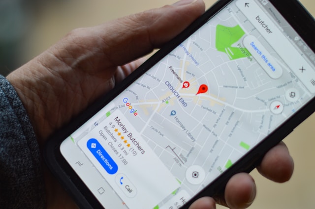
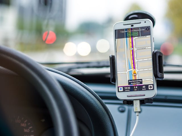
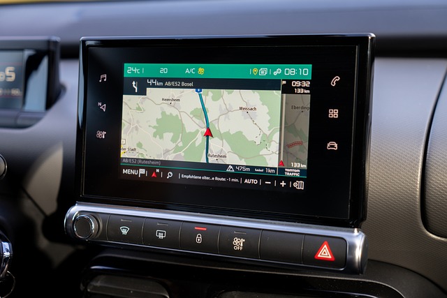
Geocoding is essential for navigation and mapping services like Google Maps and GPS devices. These services convert human-readable addresses into geocoded addresses.
This helps users get accurate directions from point A to point B.
It also helps find nearby services such as restaurants, hospitals, etc.

2. Emergency Response Services
Emergency response teams use geocoding to locate incidents quickly. When someone calls 911, the system geocodes the provided address to find the exact location. This helps dispatchers send emergency services to the right place without delay.
Accurate geocoded addresses can save lives by reducing response times.

3. Real Estate and Property Management
Real estate companies use geocoding to analyze property locations and market trends. They convert property addresses into geographic coordinates for spatial analysis.
This helps visualize property reference data on maps, identify high-demand areas, and plan new developments.
4. Environmental Monitoring and Management
Scientists and researchers use geocoded addresses to map environmental data, such as pollution levels and wildlife habitats. This spatial analysis helps identify trends and make informed decisions about conservation efforts.
Geocoding also supports disaster management by mapping vulnerable areas.
FAQs
What Is Geocode?
A geocode is a set of geographic coordinates representing a physical address, typically in latitude and longitude coordinates.
What Is a Geocoder?
A geocoder is a tool or software that converts physical addresses into geographic coordinates.
What Is Reverse Geocoding?
Reverse geocoding is converting geographic coordinates back into a human-readable address.
Leverage geoPlugin for Geocoding
Geocoding is essential for location-based services and can not exist without geolocation technology. After knowing what is Geocoding, you might be looking for geocoding service providers. With geoPlugin, your search ends right here.
geoPlugin excels in pinpointing users down to the city level.
Using geoPlugin’s geolocation services, you can personalize content, utilize geopricing, and geoblock specific regions. These features can boost your business’s engagement and sales.
Sign up for geoPlugin today and improve your business through geolocation.
