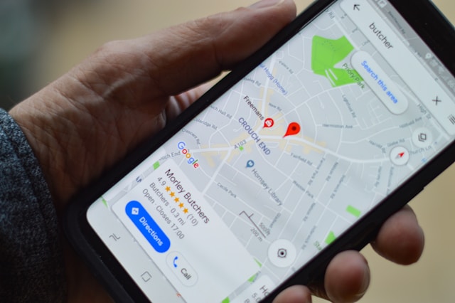
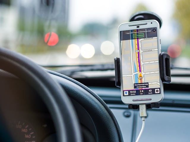
Have you ever received a notification from Google Maps asking about your experience at a restaurant you recently visited? How did Google know you were there, even though you didn’t manually check-in? No, it’s certainly not magic, but it is the result of a process called reverse geocoding.
Google tracks your GPS location using latitude and longitude coordinates and matches them to real places on the map. Google assumes that the place where you spend the most time is your destination. It then triggers a notification asking for feedback.
In this blog, we’ll dig further into the process of reverse geocoding. You’ll also learn how to reverse geocode on your own and discover some key applications of this technology. Read on!
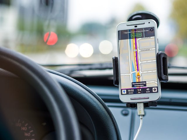
Table of Contents
What Is Reverse Geocoding?
To really grasp reverse geocoding, we need to start by breaking down geocoding itself. Geocoding is the process of turning a human-readable address into geographic coordinates like latitude and longitude.
In other words, if you know an address, geocoding gives you the exact spot on the map.
For example, let’s say you want to locate a bakery at 10 Elm Street, Springfield, IL. Geocoding would find a geocode that pinpoints the location of that bakery on the globe.
Reverse geocoding is just the opposite. Instead of starting with an address, you start with geocodes and turn them back into useful, readable information.
Let’s say you have a set of coordinates, say, (39.810909, -89.611136). A reverse geocode tool would convert these geocodes into something more meaningful, like Elm Street, Springfield, IL. It can also provide broader information, like which neighborhood, county, or country those coordinates fall into.
One key tool for this is the spatial index. This index organizes data so that the algorithm can quickly narrow down possible matches in the geographic area. Much like a smart filter, it helps the system sift through millions of possibilities without wasting time.
How To Reverse Geocode
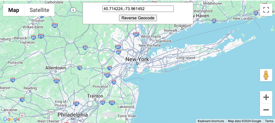
The term may sound complex, but it’s not with the right tools in place. There are two ways to perform it:
- Single location: If you only need to reverse geocode a single point. You simply input the coordinates, send a request, and get a result.
- Batch geocoding: This involves sending multiple requests in one go. You can obtain addresses with Geoapify Reverse Geocoding, ArcGIS World Geocoding Service reverse operation, or other APIs for multiple points. These APIs use geocoding products and services to return structured data.
Whether you want to geocode a single point or a batch, the steps are generally similar across most platforms.
Here’s how to reverse geocode step by step:
- Get the geocodes: have the latitude and longitude of the location you want to convert. This can come from a GPS device, a map, or another data source.
- Send the entire geocoding request: Now send a request to a reverse geocoding API or service. You’ll often submit the geographic coordinates in text format (single query) or in a structured format like JSON or XML (batch).
- Receive the results: After processing the request, the API returns a readable result, such as a street address, neighborhood name, or city. You can then use those coordinates to create something useful for end users.

Common Challenges and a Potential Fix
While the concept seems simple, reverse geocoding has its hurdles. For instance, dealing with incomplete or outdated datasets can lead to incorrect results. You might input a coordinate, but it’s possible the area isn’t the same as before (like after construction or roadwork).
Imprecise coordinates are another issue. If you’re off by just a fraction of a degree, you could end up with results not matching your expectations. This becomes more complex when multiple geographic features, like a road intersection and a nearby park, share the same spot.
The system then has to choose which one to prioritize. Algorithms work to resolve these conflicts, but there’s always a chance of getting the wrong feature types.
To avoid confusion, reverse geocoding tools often allow you to choose which type of location you want. You can choose between residential addresses to points of interest like stores, schools, or natural landmarks. The more precise the feature type selection, the more relevant your results will be.
This is especially useful when dealing with batch geocoding — where you’re handling multiple reverse geocode requests at once.

4 Applications of Reverse Geocoding
Many industries apply reverse geocoding in unique ways to solve real-world problems. Let’s explore four top examples.
1. Emergency Services
When a GPS device or smartphone sends out coordinates, those raw numbers need to be quickly turned into actionable information. Reverse geocoding converts these raw coordinates into recognizable addresses to guide first responders to the right location.
Enhanced 911 (E911) in the U.S. and E112 in the European Union are major examples of systems that use it.

2. Geospatial Analytics and Market Research
Companies use reverse geocoding to connect geographic coordinates with demographic, economic, or other forms of location-specific data.
For example, retail chains can reverse geocode customer locations to study shopping patterns and identify which neighborhoods are most lucrative. Similarly, urban planners can link geospatial data with population density to decide where to build new public facilities.

3. Mobile Location-based Services
You’ve likely used reverse geocoding yourself without even realizing it. Especially when you book a ride through an app or check the weather for your current location. Mobile apps heavily rely on it to turn raw GPS data into something meaningful for users.
For instance, apps like Uber or Lyft reverse geocode a user’s coordinate into a readable address for the driver. Moreover, even platforms like Instagram and Snapchat also use it.
4. Logistics and Delivery Tracking
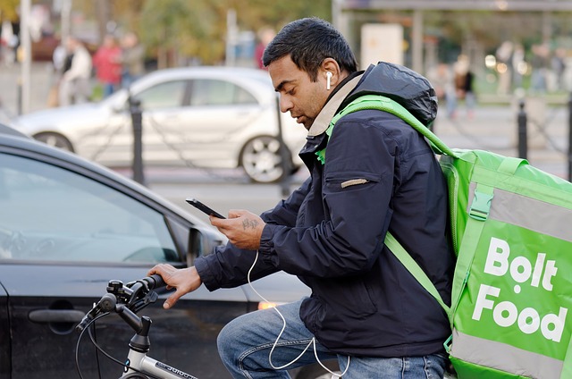
Reverse geocoding allows companies to track fleet locations in real-time. It takes GPS coordinates from vehicles and converts them into exact addresses or points of interest. Companies then use this information to optimize delivery routes, track packages, and update customers.
This helps companies streamline fleet management and reduces the chances of deliveries going off-course.
FAQ
Here are some frequently asked questions.
What is reverse geocode?
Reverse geocoding includes converting geographic coordinates (latitude and longitude) into a human-readable address or place name. For example, if you have GPS coordinates from a map, reverse geocoding turns those into a recognizable address.
What is the difference between geocoding and reverse geocoding?
Geocoding converts an address or place name into geographic coordinates, while reverse geocoding converts coordinates into an identifiable address. Geocoding is for mapping locations, and reverse geocoding is for understanding where coordinates point in the real world.
Source Geocodes From geoPlugin
As we discussed, the reverse geocoding process takes geocodes as input. But how do you get those codes, particularly for your website or app users or any point on the map?
A common way to geolocate devices is through their IP addresses. When a user visits a website on their device, the web server receives their IP address along with other details.
To get the coordinates of these IPs, you need a geolocation service. geoPlugin is here to find you the geocode of IP addresses. It can trace users down to the city level with an accuracy radius of around 50 miles.
So sign up to geoPlugin today and get free geocodes in no time!
